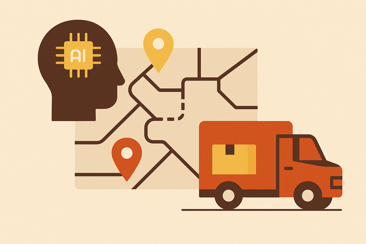
Dynamic Rerouting in Response to Real-Time Traffic Data
Updating route guidance in real time saves drivers billions in wasted fuel and time.
Dynamic rerouting is the reason a GPS app tells a driver to get off at exit 12 instead of sitting through the backup at exit 14, and it is a bigger deal than the convenience suggests. Congestion is not some minor annoyance that shows up as a bad commute story at dinner. It is a structural drag on the economy, and fixed routes calculated once before a trip starts have no way to respond to it. INRIX put the 2025 cost at 49 hours lost per average U.S. driver, 112 hours in Chicago alone, and $85.8 billion nationally in wasted time and fuel. Freight took its own hit too: truck congestion cost $35.8 billion in 2024, with commercial truck time valued at $80.16 per vehicle per hour and 57% of delays landing during peak periods. TomTom's 2025 Traffic Index found global congestion jumped from 20% to 25% in a single year, with 76% of the 500 cities it tracks having recorded slower average speeds in 2024 compared to the prior year.
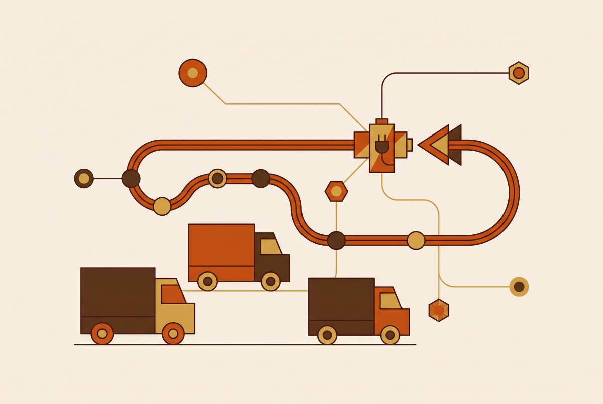
None of that gets fixed by a smarter app alone. Dynamic rerouting only works if three separate layers do their jobs and hand off to each other cleanly: collecting data about what roads are doing right now, turning that raw mess into something a computer can trust, and then deciding what to do about it. Each layer has its own failure modes, and the rest of this piece walks through them in order, because that is the order in which they actually fail.
How real-time traffic data is collected
No single sensor tells the whole story, which is why every working system stitches together several kinds of input rather than picking a favorite.
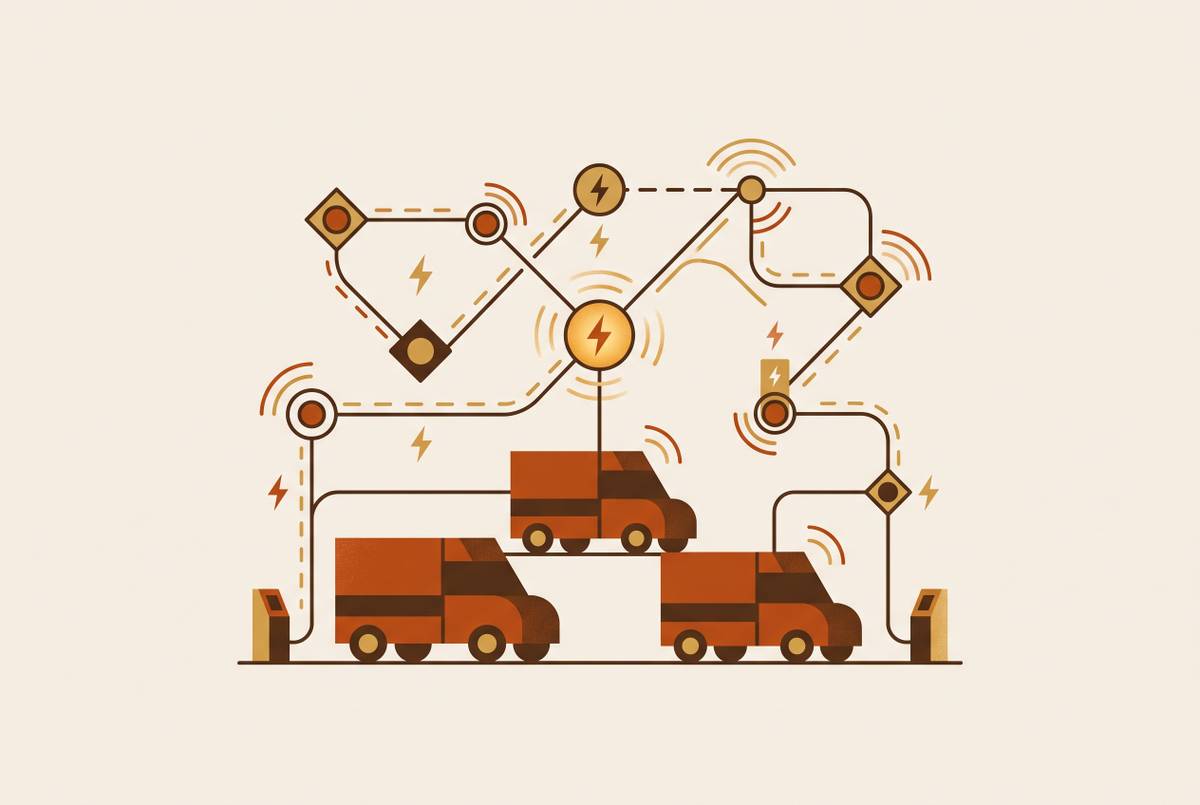
GPS signals from phones and connected vehicles carry the most volume by far; that is the backbone of apps like Waze and Google Maps. Road sensors, including inductive loops buried in pavement, radar units, and lidar, add precision at fixed points, but installing and maintaining them costs money, and they only see the exact spot where they sit. Traffic cameras with computer vision fill in visual detail. Weather stations add context, since rain and ice change travel times independent of anything happening on the road itself. Crowd-sourced reports, the kind Waze users file when they see a stalled car, are fast but spotty; if not enough drivers are running the app in a given area, that area might as well be invisible.
Then there is V2X, vehicle-to-everything communication, where cars talk directly to infrastructure and to each other. V2N specifically, vehicle-to-network, connects a car to cloud platforms, which is what makes wide-area services like live rerouting and streamed HD maps possible. C-V2X is the leading standard here, and it is the richest data type of the bunch because it is active rather than passive. The catch is fleet penetration. A car broadcasting its speed and position is only useful if enough other cars are doing the same thing nearby, and that share of the vehicle fleet is still small.
Apple Maps is a useful case study on the tradeoffs. It crowd-sources from a large base of iPhones while emphasizing on-device processing and privacy, trading some potential data richness for those protections. That is not a small design choice; it shapes how much Apple can know about any one road segment compared to a service that centralizes everything.
Whatever gets built on top of this, prediction, routing, signal timing, is bounded by what gets collected here. A system cannot route around congestion it never measured.
The processing gap: turning raw data into a usable traffic picture
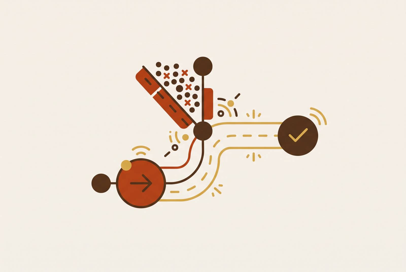
Raw data is not traffic information; it is noise that happens to contain traffic information somewhere inside it. Duplicate GPS pings, sensor readings that contradict each other, incident reports that are already stale by the time they load: processing is the work of filtering all that down into something a routing engine can act on.
Speed matters here in a way that is easy to state and hard to build for. TomTom refreshes its global speed maps every 30 seconds. Uber serves roughly two million live forecasts per second. Those numbers are not bragging rights; they set the bar for "fast enough." A routing decision built on traffic data that's a few minutes stale can already be wrong by the time it reaches a driver, especially near an accident scene where conditions change block by block.
Machine learning does most of the heavy lifting in this layer. Anomaly detection flags sudden speed drops or the telltale signature of an incident. Pattern recognition separates the traffic jam that happens every day at 5:15 from the one caused by a jackknifed trailer. Temporal modeling weights recent observations more heavily than historical averages once something unusual starts to unfold, so a system does not keep insisting a road is clear five minutes after it stopped being clear.
INRIX rebuilt its processing engine from scratch specifically to use AI and the growing volume of incoming data, aiming to send rerouting alerts before a driver actually enters the jam rather than after. That is a direct attack on the latency gap. VANETs, vehicular ad hoc networks, paired with intelligent transportation systems push some of this processing out to the network edge instead of routing everything back to one central server, which cuts down on lag.
What this layer cannot do, no matter how good it gets, is pick a route. It can describe the traffic picture with precision. Deciding what to do about that picture belongs to the next layer entirely.
How route-adjustment logic translates a traffic picture into a new path
Routing logic is not one algorithm; it is a stack of methods layered on top of each other, some of them decades old.
The foundation is Dijkstra's algorithm, which finds the shortest path through a network of nodes and edges — in a real navigation system, those edges are weighted by expected travel time, which is why a longer route can still be the faster one.
Google Maps shows how much can pile onto that foundation. Dijkstra's gets updated in real time by neural networks trained on extensive historical driving data, fed by a very large base of phones running the app, enabling the system to reason about what is actually happening on a given stretch of road. The dynamic part is the edge weights: they update continuously as the processing layer feeds in new speed data, so a route that looked best when a trip started can lose that status ten minutes later, and the system re-solves the graph rather than sticking to the original plan.
There's a meaningful split between reactive and predictive logic. Reactive systems only reroute after congestion shows up, which means they are always a step behind events by definition. Predictive systems try to model where congestion will be by the time the vehicle actually gets there, rerouting before the driver ever sees the backup. Leading navigation platforms have moved in this direction, incorporating pattern-based preemptive rerouting as a real shift from purely reactive logic toward a mixed approach.
Reinforcement learning is the newer frontier. Research into deep reinforcement learning for signal control has shown meaningful reductions in queue lengths and improvements in lane-level efficiency, suggesting RL can beat fixed heuristics in dense networks where conditions shift constantly.
But no algorithm fully escapes one structural problem: if a system reroutes a large number of vehicles onto the same alternative path at the same moment, that path gets clogged too. Network theorists call this the rerouting paradox, or Braess's paradox. Send everyone around the traffic jam and congratulations, the detour is now the traffic jam. Enterprise logistics adds yet another layer on top: multiple vehicles, delivery time windows, fuel limits, and traffic states that are themselves uncertain, all needing to be optimized together rather than trip by trip.
Where signal control and rerouting meet: the infrastructure side
Rerouting a car and retiming a traffic light used to be handled by completely separate systems, run by separate people, on separate budgets. That separation is disappearing.
Adaptive signal control adjusts green and red cycles based on actual queue lengths in real time rather than a fixed schedule set years ago and never revisited. A USDOT Intelligent Transportation Systems pilot in Maricopa County, Arizona, cut average vehicle delay substantially and cross-traffic delay by a larger margin, among the strongest field results reported in 2025. MoDOT's pilot on I-270 correctly predicted the majority of incidents and flagged nearly half of 320 crashes before police radio or CCTV monitoring caught them, which says something important: infrastructure-side AI can, in some cases, notice a problem faster than the humans watching for it.
Google's Project Green Light applies AI recommendations to signal infrastructure that already exists, without ripping out hardware, and it can cut stops by up to 30%. That is a rare example of rerouting-grade intelligence layered onto old equipment instead of replacing it.
Architecture choices matter beyond the algorithm itself. Decentralized architectures, where every intersection optimizes off its own local sensor data instead of waiting on instructions from a central controller, turn out to be more resilient in large deployments; one intersection's sensor failing does not take down the whole grid. Emerging platforms extend this logic to connected vehicles, letting cities give priority to emergency vehicles and transit at signalized intersections by tying V2X data straight into the signal logic itself.
Put simply: a rerouting system that only optimizes what happens inside the car, with zero coordination with the infrastructure around it, is fighting an environment it does not control.
How the three layers interact in practice: what succeeds and what breaks
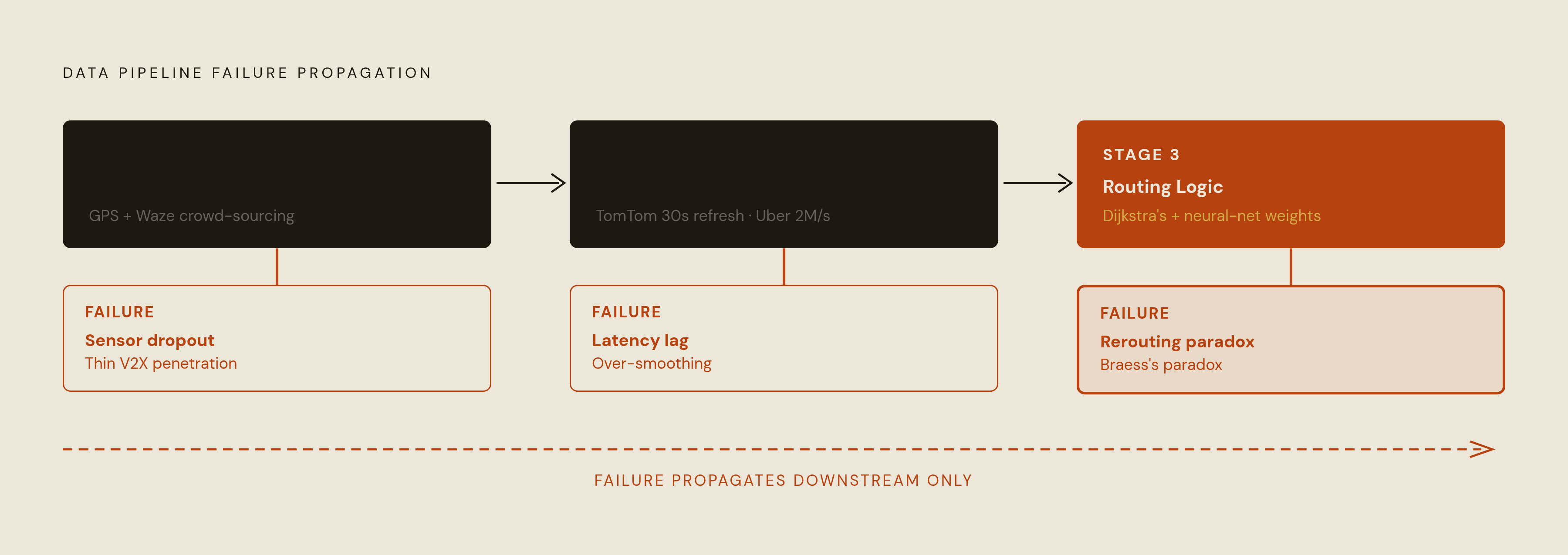
Each layer leans entirely on the one before it, and failures travel in one direction. A gap in the data becomes an error in processing, and that error becomes a bad routing call.
The failure modes are distinct enough to name separately. In the data layer: sensor dropout, thin coverage in lower-density areas, V2X penetration too low to mean much statistically. In the processing layer: latency that cannot keep pace with a fast-moving incident, so the model catches up only after the accident has already been cleared; or over-smoothing, where a real anomaly gets buried inside a historical average that assumes today looks like every other day. In the routing layer: the rerouting paradox, where sending too many vehicles down the same "better" path just relocates the jam.
Research into logistics routing has shown that systems which explicitly model traffic as non-stationary — assuming conditions will keep changing rather than treating any snapshot as stable — measurably outperform those that do not, and can generate new routing policies in near-real time. TxDOT's field testing found machine-learning travel-time predictions beat a naive baseline by a meaningful margin during peak periods specifically, which is good news with an asterisk attached, since peak periods are exactly when the rerouting paradox is most likely to show up.
Consumer apps make the tradeoffs concrete. Waze leans on crowd-sourced data and reroutes aggressively mid-trip, which makes it fast on sudden incidents and less reliable where data is sparse; in head-to-head comparisons, it tends to perform well on sudden incidents. Google Maps runs on a much larger sensor base and neural networks trained on deep historical data, which makes it steady and predictable, if slightly slower to react to something that just happened five minutes ago. Apple Maps processes on-device for privacy, with a crowd-sourced base that is growing but still working with less historical depth than its older competitors.
No platform has nailed all three layers at once across every condition, and that is not really a knock on any of them; it is just what the problem looks like. When lab results do not match field performance, the gap almost always traces back to one of these three failure points. What separates the strongest deployments is not one brilliant layer, it is tight coupling between all three: data freshness, processing latency, and routing frequency all updating on roughly the same timescale instead of one lagging behind the other two.
What makes the market for these systems grow and where it is heading
The real-time traffic data market is projected to reach $15.3 billion by 2032, up from $6.5 billion in 2023, growing at a 10.1% compound annual rate. That growth comes from three things arriving at once: congestion getting worse, sensors getting cheaper, and AI models getting good enough to actually use the data those sensors produce. The broader Intelligent Transportation Systems market already tops $25.1 billion, with continued growth projected through the decade, which is the infrastructure spending underwriting everything described in the data-collection layer above.
Three trends are converging to shape what comes next. First, V2X maturity: as C-V2X penetration climbs, the data layer gets richer without cities needing to pour more concrete or bury more sensors. Second, cooperative vehicle-infrastructure systems aimed at emissions, not just speed; recent research has applied deep reinforcement learning to signal control specifically to cut emissions, signaling that the rerouting agenda and the decarbonization agenda are starting to merge rather than run on parallel tracks. Third, city-scale coordination: Advanced city-scale deployments already fuse GPS, camera, and social media feeds into one unified routing recommendation system, and Los Angeles has measurably cut journey times using AI-driven signal adjustment. Neither is a finished product; both are early templates for what a whole city running on this logic might look like.
The constraint that will define the next decade is not exotic. Data coverage and V2X penetration are uneven, full stop, and the systems that perform best in dense urban cores tend to degrade at the edges, where sensor density drops off and crowd-sourced reports thin out. That is the through-line worth carrying out of this piece: dynamic rerouting is not a feature bolted onto a map app. It is a system built from three layers stacked on top of each other, and its ceiling in any given city is set by whichever of those three layers happens to be weakest there.